Evidence forliving systems.
I translate field ecology, geospatial analysis and conservation science into clear decisions for landscapes, species and development projects.
Biodiversity baselines ✦ Critical Habitat screening ✦ Nature-based solutions ✦ GIS & remote sensing ✦ Freshwater ecology ✦ IFC PS6 / World Bank ESS6 ✦
Biodiversity baselines ✦ Critical Habitat screening ✦ Nature-based solutions ✦ GIS & remote sensing ✦ Freshwater ecology ✦ IFC PS6 / World Bank ESS6 ✦
Conservation, applied
From a species record to a landscape decision.
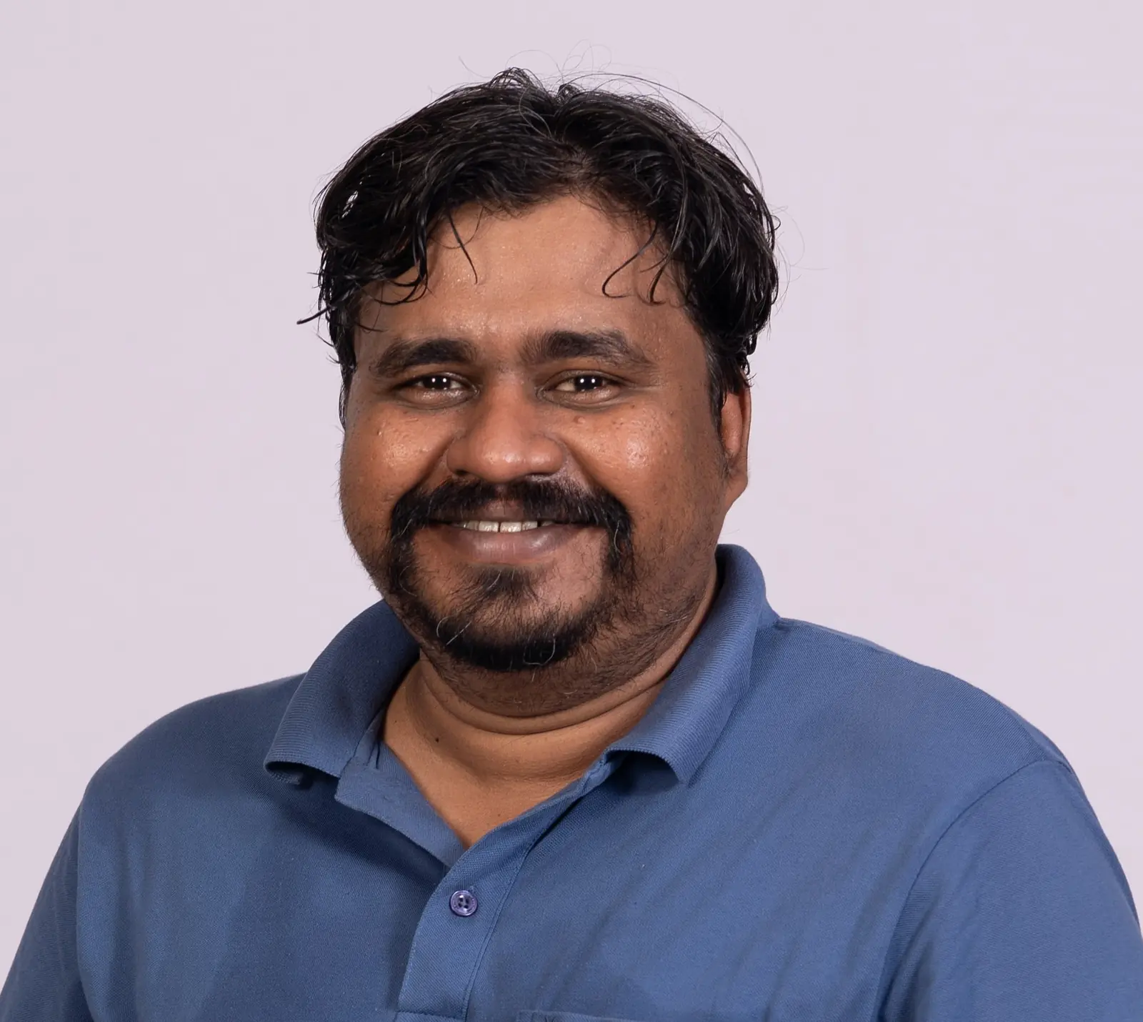
I am a conservation biologist with a Ph.D. in Zoology and a research foundation in small mammal ecology.
My work connects field observations with spatial evidence, ecological restoration and lender-oriented E&S review. I have worked across the Sundarbans, the Lower Gangetic plains, the Indian Himalaya, Nepal and other human-modified landscapes.
Working question
What evidence is needed now - and what must still be verified in the field?
One connected workflow
Screen. Survey. Model. Restore. Advise.
01 Screen02 Survey03 Model04 Restore05 Advise
01 / 05
Early clarity on biodiversity risk.
Protected and recognised areas, habitat sensitivity, priority receptors, Critical Habitat triggers and field-verification needs.
Project-centred screening IFC PS6 / ESS6 framing Decision-ready evidence trails
02 / 05
Field methods built around the decision.
Terrestrial, freshwater, wetland and coastal baseline design, habitat condition assessment and practical monitoring protocols.
Survey design Habitat and threat assessment Monitoring indicators
03 / 05
Spatial evidence that stays interpretable.
GIS overlays, habitat suitability, species distribution modelling, LULC analysis and spatial data validation.
QGIS and ArcGIS R and MaxEnt Risk and priority maps
04 / 05
Restoration with an ecological feedback loop.
Mangroves, living shorelines, wetlands, grasslands and climate-resilient interventions linked to monitoring evidence.
Restoration zoning Nature-based solutions Adaptive monitoring
05 / 05
Technical advice that teams can act on.
Environmental and social due diligence, ESMS / ESMP support, mitigation measures and clear technical reporting.
E&S due diligence ESAP and monitoring inputs Stakeholder coordination
Assignments and outcomes
Work that moves from evidence to action. Selected examples from conservation, infrastructure, restoration and biodiversity advisory.
All
Screening
Freshwater
Restoration
Landscape
WWF-India / HSBC India · 2022-2024
Living shoreline and mangrove regeneration Nature-based solutions · Field monitoring · Technical reporting
WWF-India / West Bengal Forest Directorate · 2024
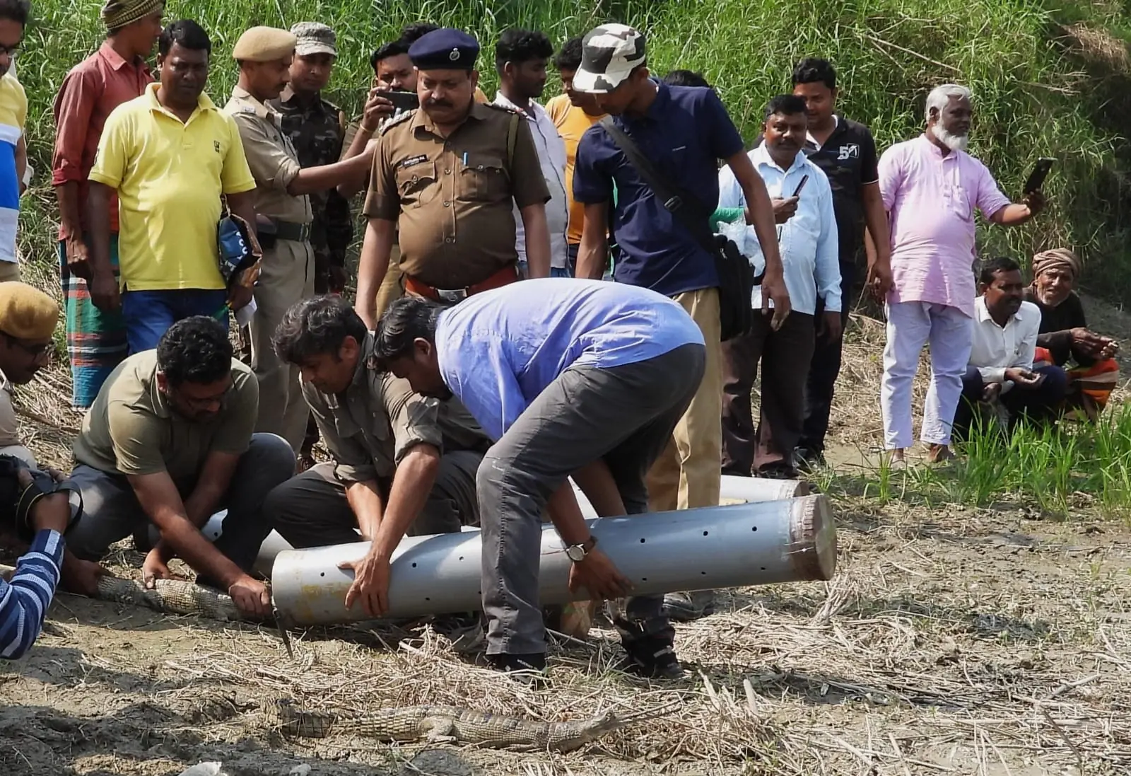
Release of 37 captive-bred gharials Habitat assessment · Release-site support · Monitoring design
Foundation for Resilience Actions · 2026
Biodiversity baselines for restoration sites Screening · Multi-taxa surveys · Habitat relationships
Nepal · 2024-2026
Upper Trishuli-1 hydropower E&S support Lender requirements · ESMS / ESMP · Biodiversity monitoring
GreenCell Mobility · 2025-2026
Electric bus and depot E&S screening Six sites · Field verification · IFC-aligned mitigation
ICLEI South Asia / SECURE Himalaya · 2021-2022
High-altitude habitat restoration planning Degradation mapping · Basin priorities · Ground-truthing
Zoological Survey of India / NMHS · 2016-2020
Long-term Himalayan biodiversity monitoring Permanent plots · Field protocols · GIS · Capacity building
Current engagements
Science, advisory and conservation action.
Parallel roles reflect a practice that spans technical consulting, conservation delivery, digital systems and professional service.
Download detailed CV ↓
2026 - present Current 2025 - present Senior Consultant - Biodiversity Sustainability Intelligence Private Limited
Current 2024 - present Director / Head - Conservation & Action Research Habitat Lens Private Limited
Current 2024 - present Consultant - Biodiversity SMEW Ecological Solutions
Current 2024 - 2025 Consultant - Biodiversity WWF-India, Sundarbans Programme Office
2022 - 2024 Senior Project Officer - Biodiversity WWF-India, Sundarbans Programme Office
2021 - 2022 Assistant Manager - Biodiversity ICLEI South Asia
2016 - 2020 Research Fellow / Senior Researcher Zoological Survey of India
Recognition University Gold Medal M.Sc. Conservation Biology · University of Burdwan · 2014
Professional standing IUCN Species Survival Commission Small Mammal Specialist Group · IUCN SSC Asia
Networks RISCINSA Rodentia, Insectivora & Scandentia Conservation and Information Network of South Asia
Restoration Ecological Restoration Alliance Member
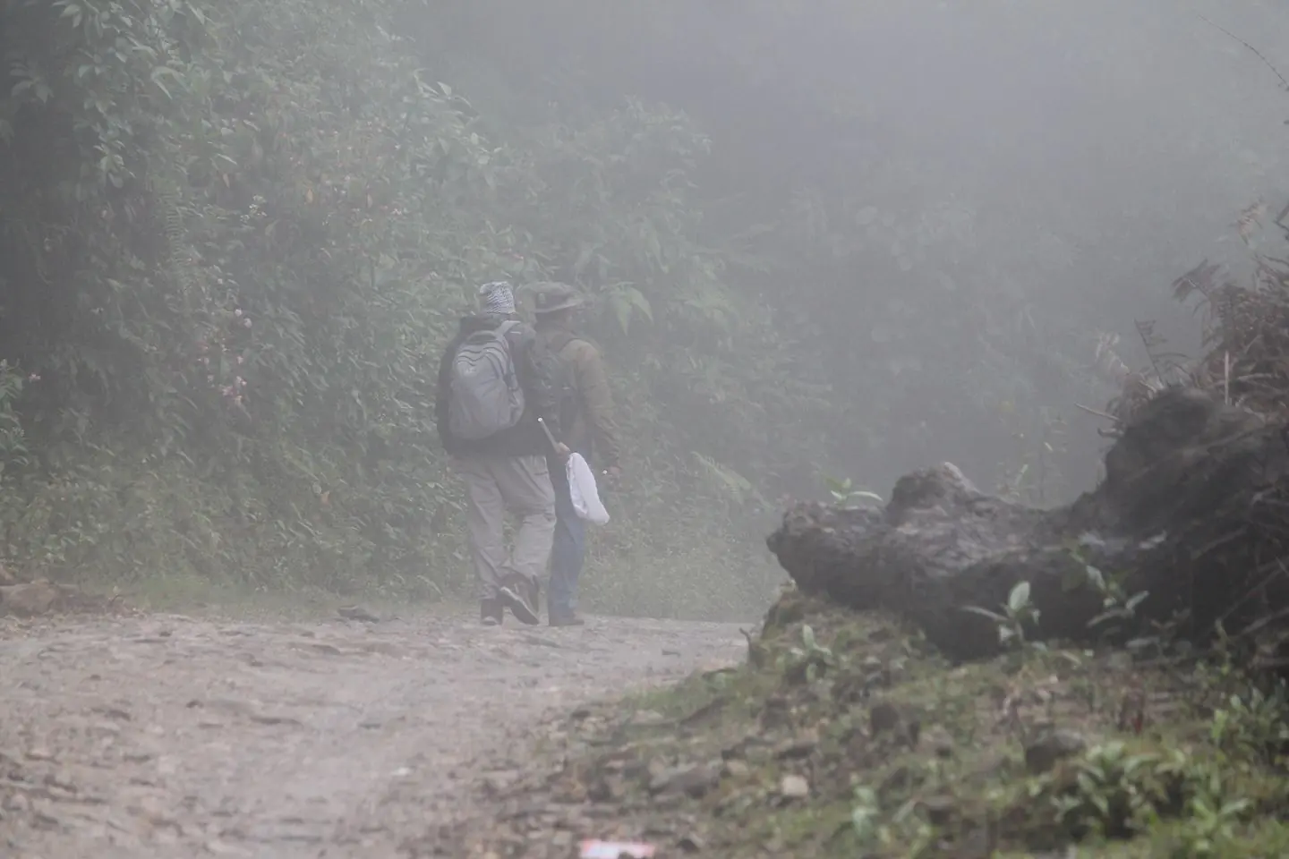
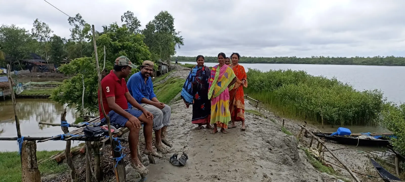
Across habitats and rooms
The work, in frames. Show all photographs ↓